Photo: Used with permission by (CC BY 2.0) International Mountain Biking Association
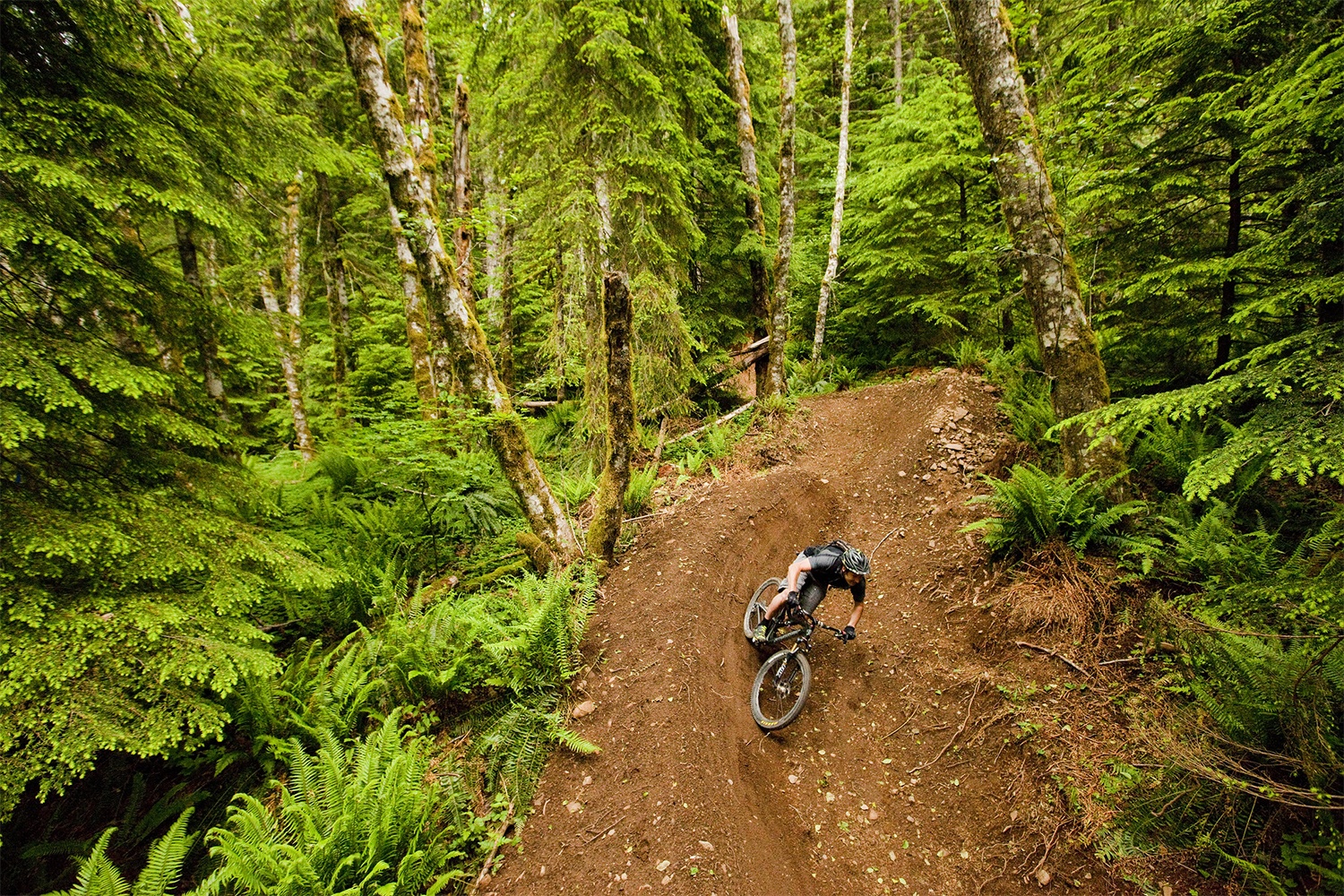
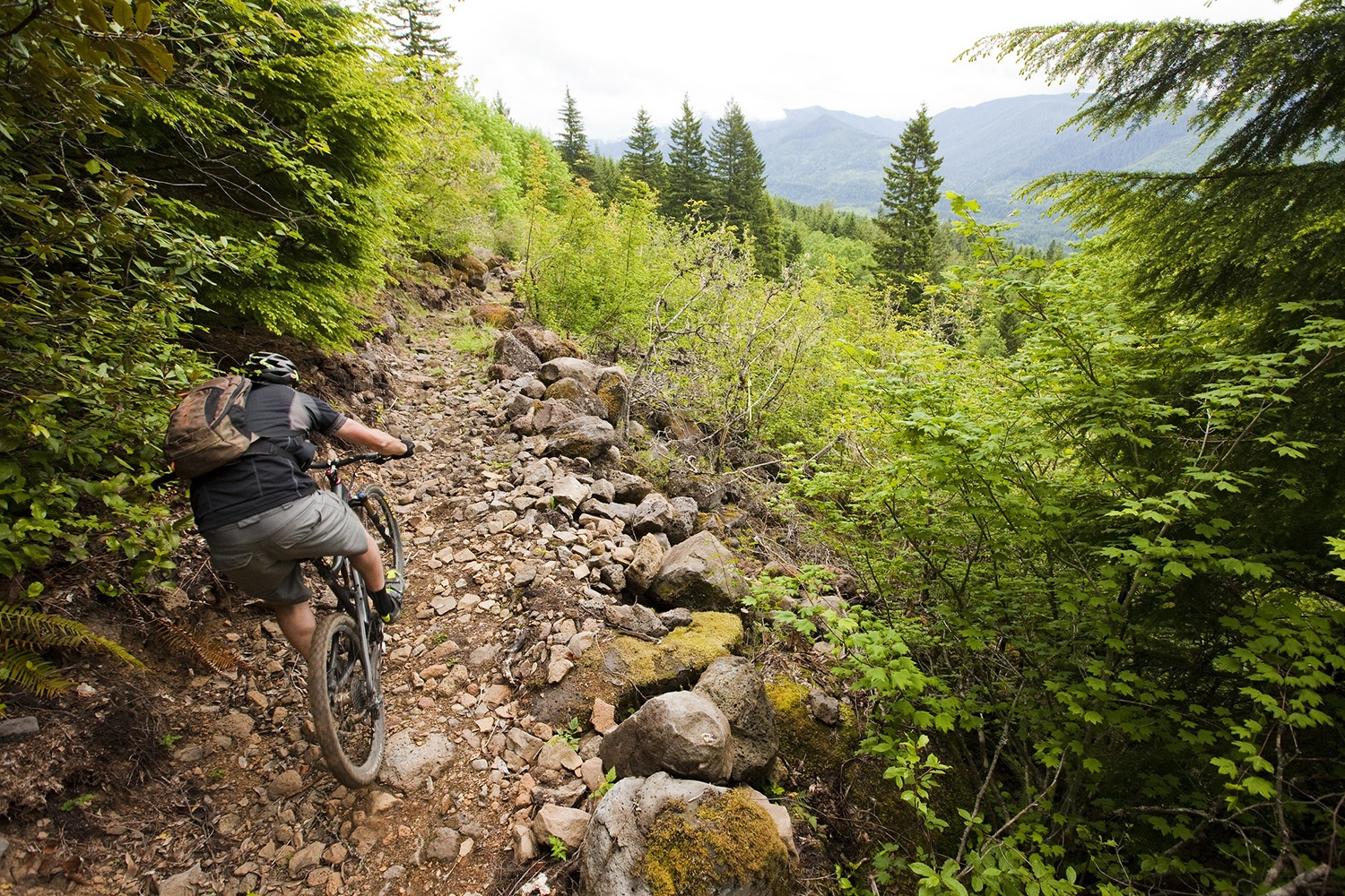
The Sandy Ridge Trail System contains 17 miles of mountain biking trail and is located about 13 miles east of Sandy, Oregon. This trail system is open year-round and it’s free to the public. If you want to ride your bike through a forest, but don’t want to make your way up the mountain, this is a great location for you.

Photo: Used with permission by (CC BY 2.0) International Mountain Biking Association
When 125 miles of trails were closed in 2006, the International Mountain Biking Association, along with a few other companies, got together to come up with a way to create some new trails.
Most of the trails are directional and downhill-only and they are each rated by difficulty. There’s something for you whether you a beginner with hardly any experience, or a highly skilled rider.

Photo: Used with permission by (CC BY 2.0) International Mountain Biking Association
Elevation: 1,300 Elevation Change
Grade: Avg Grade: 6% (4°) | Max Grade: 20% (11°)
Terrain: Natural terrain with dirt, roots, rocks
Pets: Allowed
Cost: Free
Trail System Map: Click Here
Address
62700-62702 E Barlow Trail Rd.
Brightwood, OR 97011
For more suggestions of things to do in the Mt. Hood area,
visit our Things To Do page.